Journalists publish map of over 200 Russian military facilities in occupied Crimea
Journalists from Krym Realii media outlet published a map on May 10 that geolocates 223 active, temporary, and preserved military facilities in Russian-occupied Crimea.
"It is important for us to inform our audience about the level of militarization of the Crimean Peninsula. We want to warn Crimeans about the dangers associated with these places," the map's creator, Ihor Tokar, said.
Tokar added that "many people live in the immediate vicinity of Russian military facilities. And considering large-scale military operations conducted by Russia against Ukraine, these places pose a particular danger to others."
The points on the map are divided into 10 categories, including Russia's Black Sea Fleet warehouses for weapons, ammunition, and other military equipment, air bases and airfields, radio and communication stations, and air defense and missile forces.
Other categories include border guards, internal troops, scouts, and other units of Russia's Armed Forces, fuel for troops, training grounds, military facilities with unknown purposes, and chemical and biological defense forces.
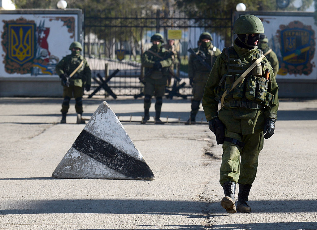
Russia has occupied Crimea since it annexed the peninsula in 2014 in the wake of the Euromaidan Revolution that ousted then-pro-Russian President Viktor Yanukovych.
Since the start of the full-scale war, Russia has been using Crimea to launch missiles against Ukraine and as a logistic route to transfer equipment to the southern battlefield.


