News Feed

Locations of Ukrainian weapons systems revealed on Google Maps, official says

1 min read
Locations of Ukrainian weapons systems revealed on Google Maps, official says
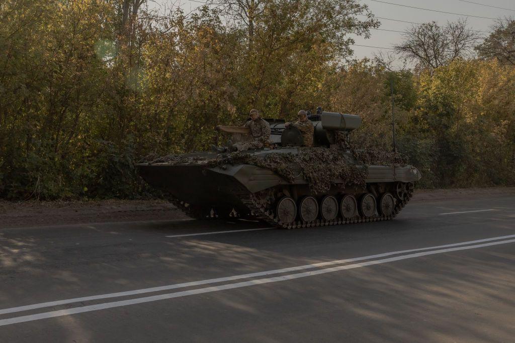
Photo for illustrative purposes. Ukrainian servicemen drive their infantry fighting vehicle on a road in the Donetsk Oblast on Oct. 5, 2024. (Roman Pilipey/AFP via Getty Images)

Locations of Ukrainian weapons systems were shown in recently updated images on Google's free online map, Google Maps, Andrii Kovalenko, the head of the counter-disinformation department at Ukraine's National Security and Defense Council, reported on Nov. 3.

After "a public reaction," Google representatives contacted the Ukrainian side, and the company is already working on fixing the issue, Kovalenko said in a later update on social media.

The official previously complained that his department had been trying to reach the U.S.-based corporation Google to fix the problem quickly but did not receive an immediate response.

"In the future, we will also talk about how to solve any (similar) problems quickly," Kovalenko added in the later post.

He also said that "the Russians are already actively sharing these pictures" without revealing any further details about the images' content.


Avatar
Dinara Khalilova

Reporter

Dinara Khalilova is a freelance Ukraine-based journalist and editor. She previously worked as a reporter and a news editor at the Kyiv Independent. In the early weeks of Russia's full-scale invasion, she worked as a fixer and local producer for Sky News' team in Ukraine. Dinara holds a BA in journalism from Taras Shevchenko National University of Kyiv and a Master's degree in media and communication from Bournemouth University in the U.K.

Read more
News Feed

The Russian government has been increasingly restricting access to social media platforms such as WhatsApp and Telegram and instead pushing Russian users to the app Max, the development of which was supervised by Russia's Federal Security Service (FSB).

Show More