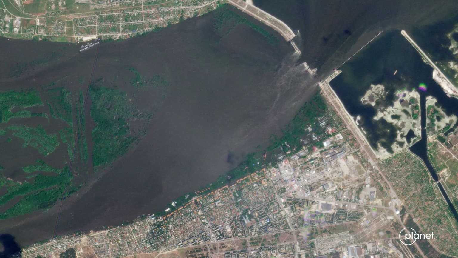
Satellite images show massive flooding of Ukraine's south

Satellite images shared by Planet Labs show the massive extent of the damage caused by the breach of the Kakhovka dam on June 6.
Kherson Oblast Governor Oleksandr Prokudin said on June 8 that 600 square kilometers of the oblast had been flooded.


On the right bank of the Dnipro River in Kherson Oblast, the area controlled by Ukraine, 20 settlements and 2,629 houses were affected, the regional military administration reported.
Evacuations of the affected areas on the right bank of the Dnipro River are underway, with 2,339 people evacuated by 6 p.m. local time on June 8.
A large number of settlements were also flooded on the Russian-occupied left bank, with places like Oleshky 90% submerged.
The floods also hit Mykolaiv Oblast, with 274 households affected and 467 people evacuated by 16:15 p.m. local time on June 8, Governor Vitalii Kim announced on June 8.


